


Remote sensing application in land resources and surveying: geological disasters monitoring, early warning and estimation, land resources investigation and monitoring, mineral resources investigation and detection, basic surveying and mapping, thematic surveying remote sensing imagery.
-
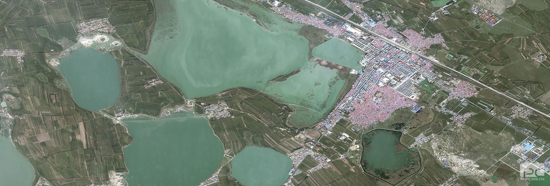
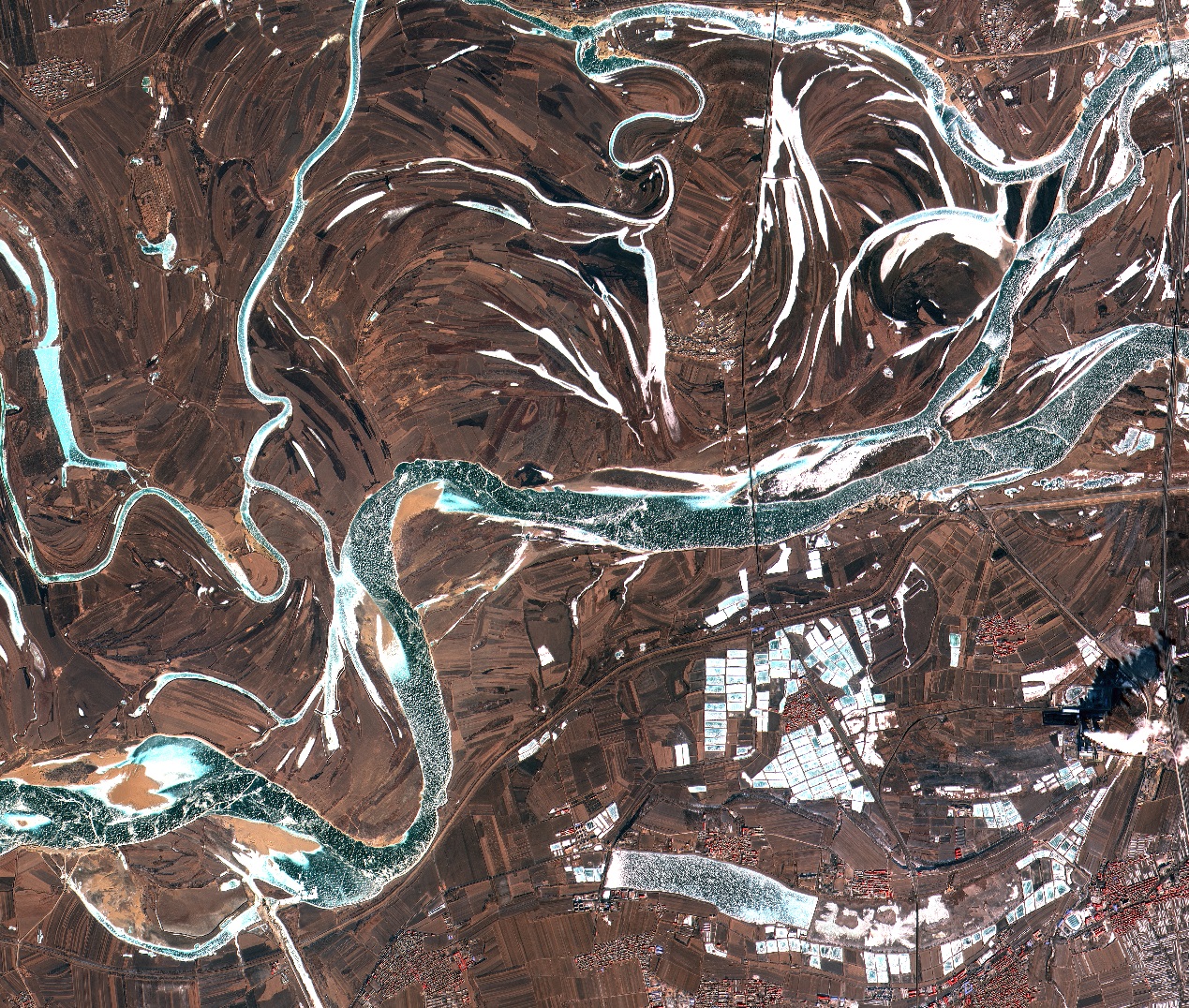
Water Resources
Water is one of the most important impact factors of natural environment. With the expanding of city scale and interference of human activities, the problems of the river way siltation, water pollution and quality deterioration become serious impact on water environment.
-
Meteorology
Using radiation measurement technology, remote sensing with scientific method can accurately reflect the state performance of air, land and sea of various physical and ecological parameters. A unique combination of science and technology provides a powerful vitality for the sustainable development of remote sensing.
-
Agriculture
Remote sensing technology may monitor and evaluate the number and quality of agricultural natural resources and spatial distribution, for the purpose of the development and utilization of agricultural resources protection, planning, and provide a scientific basis for agricultural sustainable development.
-
Forestry
The remote sensing application in the area of forestry, called the forest remote sensing technology, indicates the dynamic and real-time monitoring to forest resources by satellite and plane, and to obtain the data and information to offer services for forest decision and development by comprehensive analysis and processing.
-
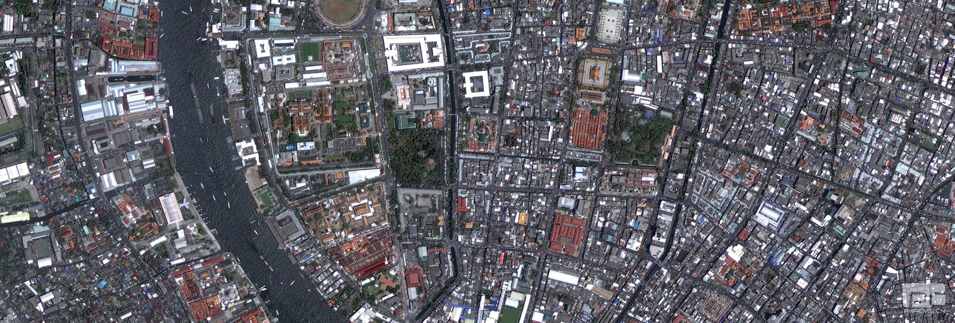
City management
GF series remote sensing data has the features likewith high spatial resolution, high spectral resolution and high temporal resolution features, and it can observe more refined various construction elements of the cities to investigate urban resources and environment elements and grasp the city change.
-
Disaster reduction
Remote sensing technology has been widely used in earthquake, flood, typhoon and prevention and reduction of other natural disasters’. It plays a great role in the phase of before disaster (prediction and preparation), during disaster (Detection and rescue) and after disaster (loss estimation and recover).
-
Survey&Land
Remote sensing application in land resources and surveying: geological disasters monitoring, early warning and estimation, land resources investigation and monitoring, mineral resources investigation and detection, basic surveying and mapping, thematic surveying remote sensing imagery.
-
Survey&Land
Remote sensing application in land resources and surveyi......