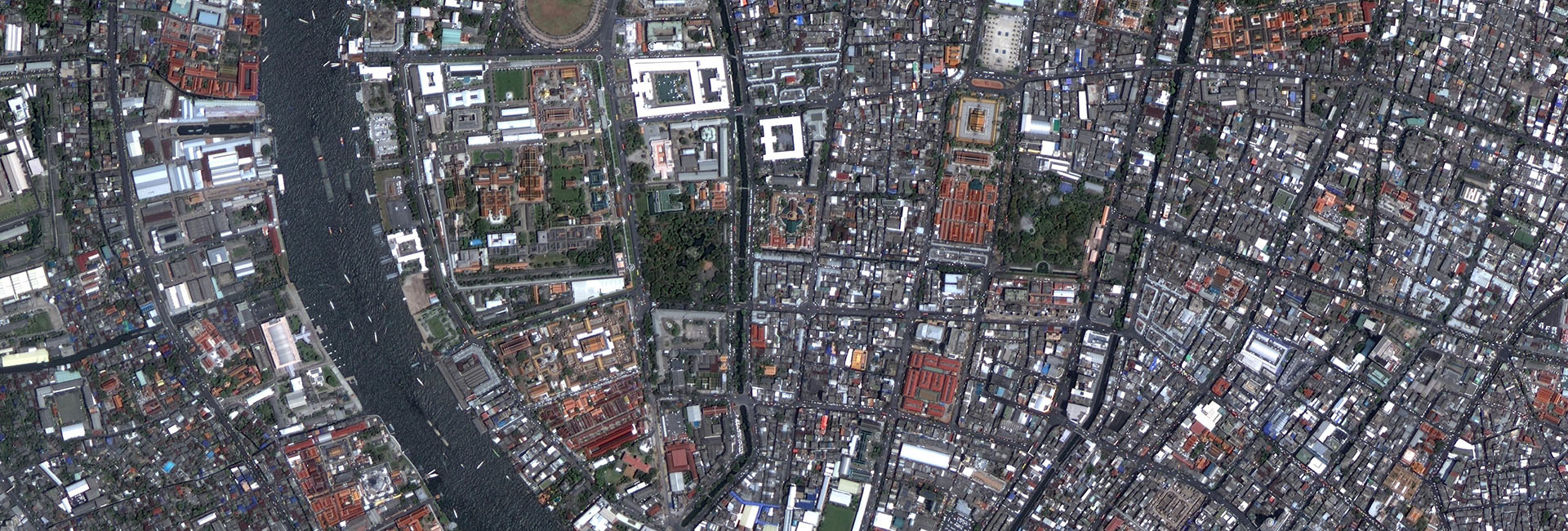

一、Introduction to Urban refined remote sensing application
GF satellite data has great effect on improving the city's refined management level.GF data research covers eight classes of monitoring content, including urban and rural planning, construction of small towns, the world natural heritage sites and scenic spots protection, building energy efficiency and renewable energy construction application, landscaping, urban emissions, affordable housing construction, municipal bridge deformation monitoring and evaluation of urban waterlog.
二、Urban refined remote sensing application products and service
|
Urban remote sensing application |
Products&Services |
|
Dynamic monitoring and evaluation
of urban and rural planning |
Urban and rural planning
dynamic monitoring, supervision and implementation evaluation |
|
City historic block
protection |
|
|
Supervision of the
construction process of housing and key construction projects |
|
|
Illegal housing construction discrimination |
|
|
World natural heritage and
scenic spot resource environment monitoring |
World natural heritage and scenic spot infrastructure monitoring |
|
Analysis and evaluation on the current situation of resources and environment in the world natural heritage and scenic spot |
|
|
Analysis and evaluation of resources and environmental capacity of world natural heritage and scenic spot |
|
|
Evaluation of urban
landscaping monitoring |
Urban construction area current situation green space classification |
|
Status evaluation of urban green space system |
|
|
Urban green space system planning and implementation evaluation |
|
|
Municipal traffic
monitoring |
Urban bridge safety monitoring |
|
Urban water risk assessment |
|
|
Urban arterial network identification |
|
| Road traffic monitoring |