
High-precision multi source remote sensing data processing cooperative cluster system is based on grid computing, it is a complete solution which is suitable for rapid and batch processing of large-scale remote sensing images. This system is able to deal with various remote sensing images(include SAR data),and produces digital ortho products and digital elevation model (DEM) products rapidly,it is suitable for automatically fast data processing in emergency mode as well as high precision image processing in conventional mode.
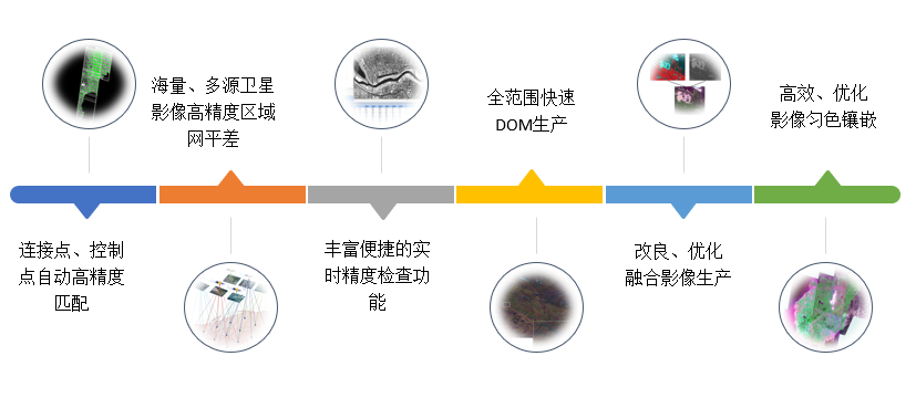
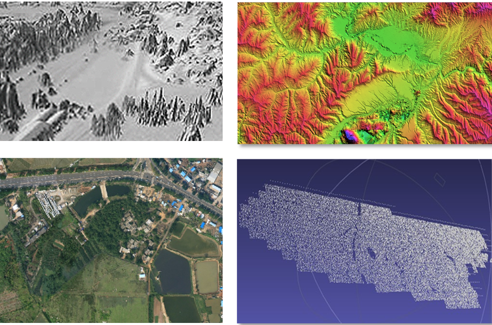
Multi level product----Ability of producing system geometric correction products, mosaic products, element information products as well as providing Image, terrain, model, element products.
Provide the regional net adjustment technology among large scale areas for high precision and rapid geometric correcting images.The ability of adjustment correction for multi-source include different satellites,payloads,observed data as well as irregular data of weak rendezvous、non stereoscopic、narrow field angle、weak connection、low overlap、unsystematic stripes and minimum base height ratio.
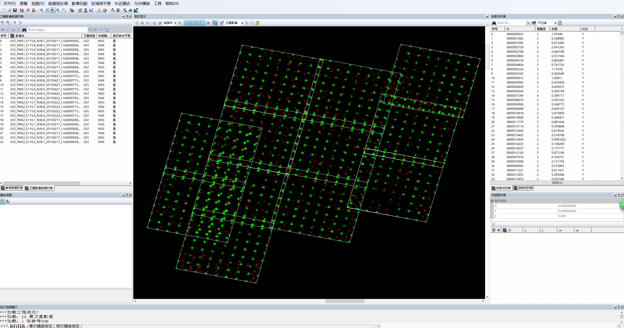
Function of real time result checking after images adjustment correction.

Function of uniformed color and mosaicking images based on different resolutions and data format;Achieving automatically uniform color and mosaic large scale of images data by optimizing the algorithm which deals with the geometry and radiation information on edge of images.
