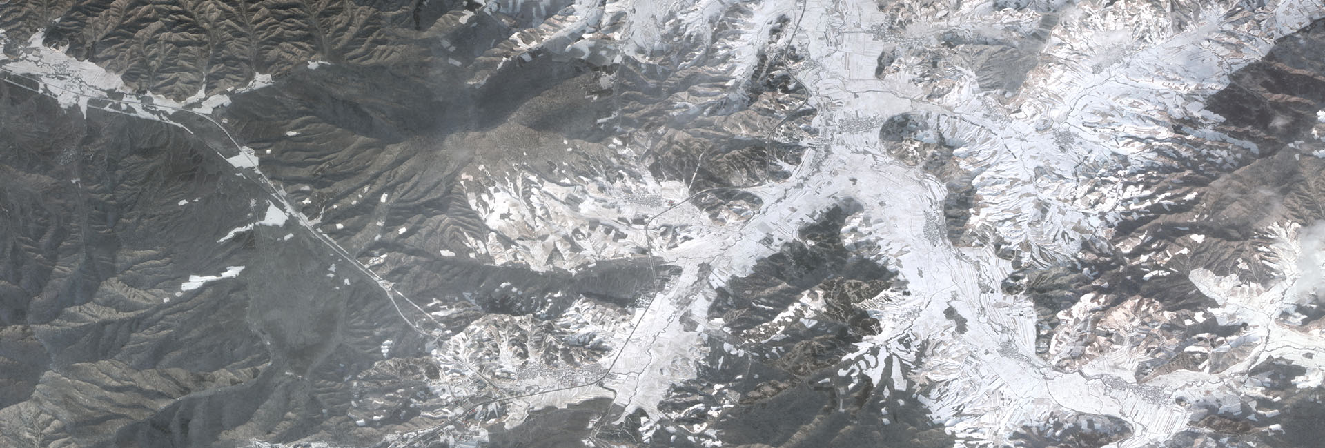

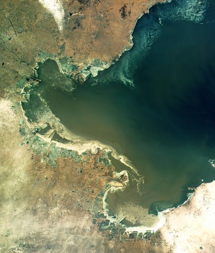
GF-4 satellite is the first Chinese high resolution earth observation satellite with a geostationary orbit. The satellite locates at 36000 km away from the earth, and can stay above the fixed areas around China and surrounding region, to take near real-time high frequency repeated observations and patrol on hotspots.
GF-4 satellite adopts China's first GEO remote sensing satellite platform and the first high orbit high-resolution remote sensing camera. The resolution of the infrared and visible band is 50 meters, and MWIR 400 meters. The observation width is greater than 400 kilometers, and the designed life time is 8 years. GF-4 currently is a GEO remote sensing satellite with the highest spatial resolution and the largest width in the world. Meanwhile, the GF-4 has the highest resolution and the longest life span among the remote sensing satellites in China.
GF-4 Specifications of the satellite payloads
|
|
Bands |
Spectral Range(μm) |
Spatial Resolution(m) |
width(km) |
Revisiting Period(s) |
|
VNIR |
1 |
0.45——0.90 |
50 |
400 |
20 |
|
2 |
0.45——0.52 |
||||
|
3 |
0.52——0.60 |
||||
|
4 |
0.63——0.69 |
||||
|
5 |
0.76——0.90 |
||||
|
MWIR |
6 |
3.5——4.1 |
400 |
GF-4 The data are analyzed in various industries
|
Trade |
Application area |
Monitor |
|
Mitigation |
Natural calamity monitoring |
Drought |
|
Floods |
||
|
Snow |
||
|
Forest Fire |
||
|
Marine climate disaster |
||
|
Forestry |
Statistical evaluation of forest partial indicators |
Coverage_area |
|
Biomass statistics |
||
|
Climatic factor analysis |
||
|
forest-fire monitoring |
||
|
Earthquake |
Information assessment and extraction |
Seismic tectonic information extraction |
|
Loss, impact assessment |
||
|
Meteorology |
Dynamic monitoring |
Typhoon monitoring |
|
Atmospheric factor monitoring |
||
|
Stream spirometry |
||
|
Marine dynamic monitoring |
||
|
Environment |
Environmental factor monitoring and evaluation |
Monitoring of Marine environmental pollution |
|
Grassland ecological assessment |
||
|
Forest conservation |
||
|
Agriculture |
Application |
Crop yield estimation |
|
Growth Monitoring |
||
|
Statistical agricultural production monitoring |
||
|
Regional economic crop monitoring |