
一、Introduction for Remote Sensing Application in Water Conservancy
The water problem of China is the most outstanding and complicated in the world. There are not enough water conservancy to the distribution of population, energy, mineral resources. Along with the national advancement of urbanization, industrialization, ecological civilization process, the implementation of the national development strategy and the effects of climate change, China's water security of the old and new problems are intertwined, old problems remain and new problems becomes increasingly prominent, those also give China’s water governance with the new connotation, put forward the new subject.
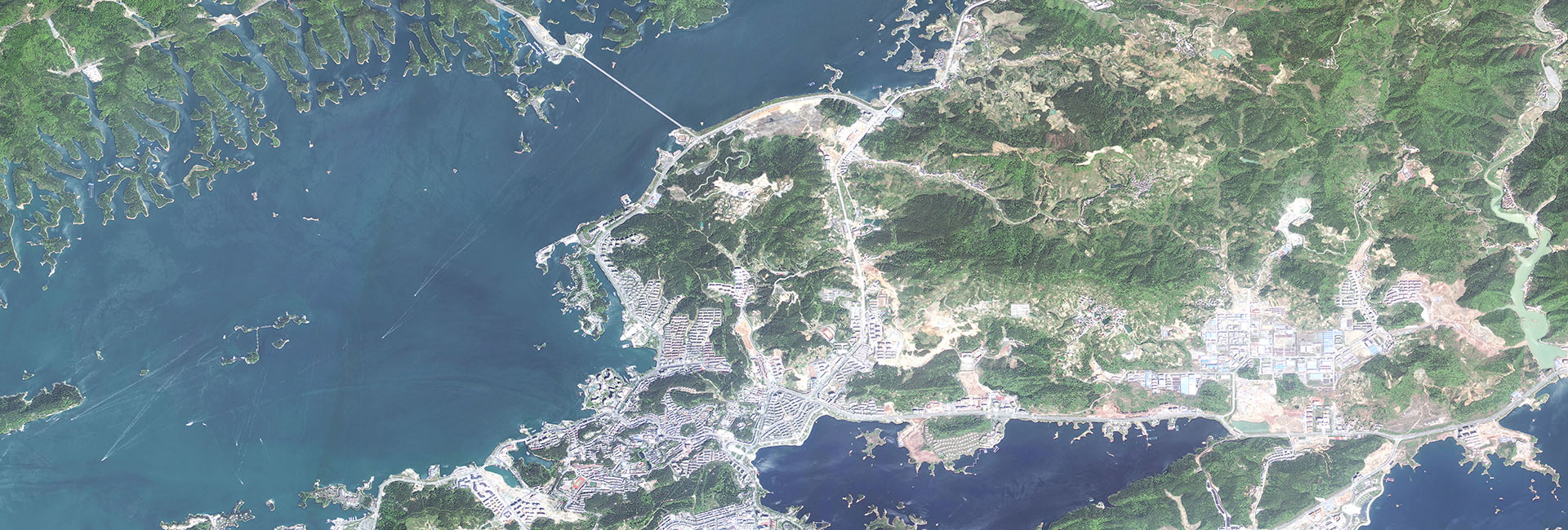
The combination of remote sensing and water conservancy has existed for 30 years, especially under the background of water conservancy informatization, the application of remote sensing technology to the water conservancy industry has been developed rapidly and has achieved great results. According to the development plan of the national water conservancy informatization, the application of new technologies and methods such as remote sensing is vigorously promoted while the construction of routine information acquisition facilities is improved. With the water conservancy application of GF remote sensing data in the key technology breakthrough, product development and demonstration application, the GF remote sensing data has been applied comprehensively in the field of water resources. By the implementation of water conservancy GF special projects marks GF satellite data a large-scale application in hydrology and water resources monitoring, floodflood and drought monitoring, soil and water conservation monitoring, water conservancy engineering and law-enforcement surveillance.
二、Water Conservancy Application Products and service
Water Conservancy Remote Sensing Application
Products&Services
Hydrology and water resources monitoring
Water area edge detection
Water quality - chlorophyll a concentration monitoring
Water quality - suspension concentration monitoring
Remote sensing
identification of black water body
Flood and drought monitoring
Flood water monitoring products
Water depth estimation of flood water body
Flood impact assessment products
Drought grade products
Monitoring of water changes in arid areas
Soil and water conservation monitoring
Soil erosion factor monitoring
Soil and water conservation measures monitoring
Monitoring and evaluation of soil and water conservation in production
and construction projects
Water conservancy engineering and
law-enforcement surveillance
Monitoring of water shoreline law-enforcement
River potential change monitoring
Migration monitoring in reservoir area
Water conservancy basic spatial data update products
Cross-boundary river development and engineering monitoring